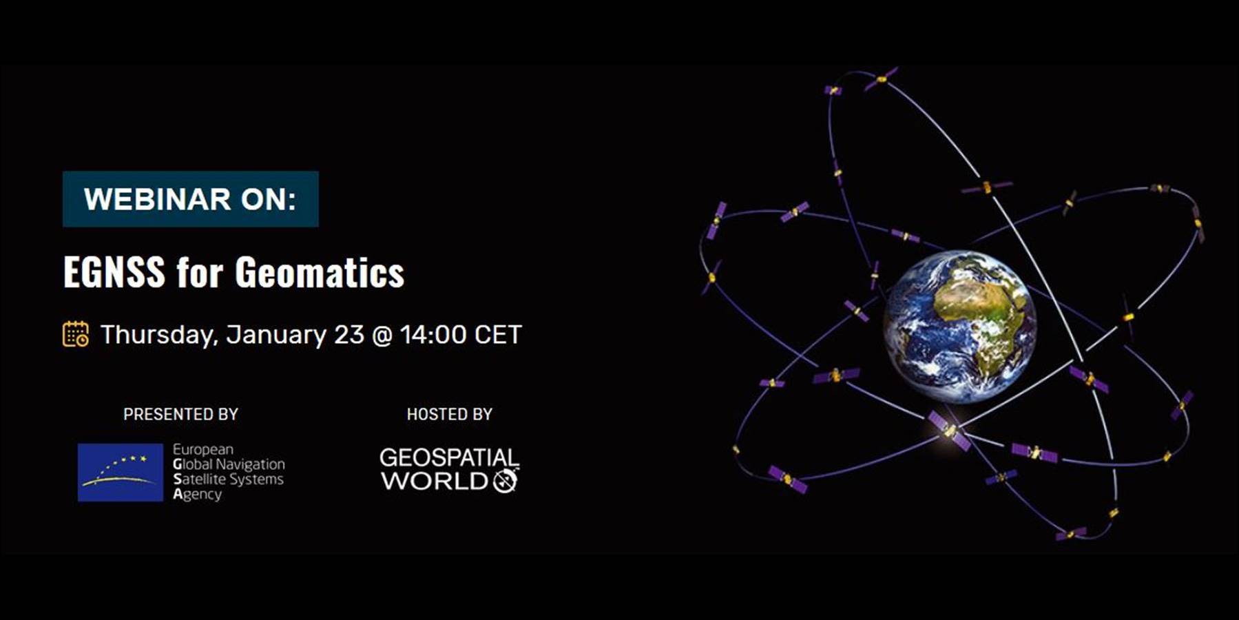
The European GNSS Agency (GSA), together with Geospatial World, organised on January 23rd, 2020 a free webinar under the title “EGNSS for Geomatics”, where the audience could learn about everything that the EU satellite navigation systems (EGNSS) have to offer for this user community. GNSS is one of the key technologies in this context along with Geographic Information Systems (GIS), Earth Observation and Remote Sensing, supporting geospatial data acquisition. Geomatics disciplines include the geo-data collection means and techniques used in land surveying (including cadastral, construction, mining or infrastructure monitoring), photogrammetry, remote sensing, marine surveying and other emerging applications, such as those based on drones or mobile mapping. For all these cases, GNSS data is either paramount, or a key enabler. In this context, EGNOS and Galileo provide high-quality positioning, navigation and timing services to geomatics’ users across the whole world.
In this webinar, experts in GNSS and geomatics explained in detail all the benefits that geomatics applications can get from the European navigation programmes. For this purpose, the audience was guided through the EGNOS and Galileo programmes, their services and performance, the added value for the geomatics user community, and the applications already enabled as well as the innovation potential. In this sense, EGNOS was shown to be of high interest for the management of natural areas, maintenance of utility networks, inventory and control of assets, sampling field campaigns and determination of perimeters and areas.
The webinar recording is available here:

