Forest inventories aim at quantifying and describing the forest resources of a region or country. In particular, they contribute to biomass estimation and climate change mitigation.
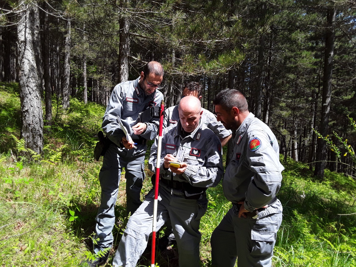
A field survey of the third Italian National Inventory of Forests and Forest Carbon Reservoirs (INFC2015) was carried out by the Carabinieri Command for Forest, Environmental and Agri-food protection with the scientific supervision of the Research Centre for Forestry and Wood belonging to CREA (Council for Agricultural Research and Economics) in Trento, Italy.
The inventory was completed during the first months of 2020 using airborne digital orthophotos to classify the macro-categories (wood-not-wood, forest, grassland, crops, etc.) of the forest. Theoretical geographical coordinates coming from a sample design were used for the purpose of photointerpretation. Therefore, GNSS was an essential tool to validate the classification done in the field by assigning the closest position to the theoretical one.
Antonio Floris, from CREA says: “We have been EGNOS users for several years so far in the forest (since it was available on GIS-class receivers), as we need accurate positioning in real time, without the "traditional" real time differential corrections, which is often very difficult to obtain in the mountain and/or wooded environments”.
Due to operational difficulties to obtain real-time GNSS differential corrections from ground reference stations, CREA researchers decided to use EGNOS augmentation system as a recommended option. The fifty field crews were given specific guidelines on how to configure EGNOS corrections in their receivers while they were also briefed on the specific procedures and services necessary when using a Web-GIS platform and a dedicated mobile application.
Antonio Floris, from CREA, says: “EGNOS corrections contributed up to a four times improvement of positioning uncertainty, with respect to non-corrected positioning. In addition, the combined use of orthophotos and EGNOS strongly helps to obtain reliable and accurate data collection surveys that contribute to decission making in climate change mitigation”.