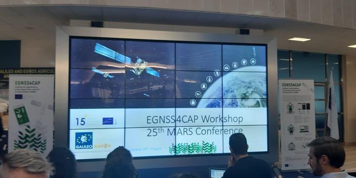
EGNSS4CAP mobile phone application was officially presented by the GSA at the 25th MARS Conference, which took place on 26-28 November 2019 in Prague (Czech Republic). EGNSS4CAP is an Android app that digitises procedures for farmers in the European Union to satisfy their reporting requirements under the current and post-2020 Common Agricultural Policy (CAP) reform. EGNSS4CAP enables farmers to provide geo-tagged photos as reliable evidence to support and complement a Copernicus-based monitoring approach to the CAP. In this way, EGNSS4CAP benefits both farmers, speeding up the verification and payment of their subsidies, and CAP paying agencies, reducing the number of required on-the-spot checks.
EGNSS4CAP allows farmers to get pictures of their crop fields with improved location and timing by means of any Android mass market device, such as smartphones and tablets. For this purpose, EGNSS4CAP relies on both EGNOS and Galileo (provided that the device where it is installed tracks and uses them for the PVT functionality) to ensure the required reporting accuracy towards the CAP paying agencies. The provision of these geo-tagged photos by farmers helps to reduce the bureaucratic burden as well as to improve the performance and reliability of CAP inspections. In addition, EGNSS4CAP is not only available for free but also Open Source, so it can be integrated by any developer in third-party applications. The first version of the application as well as the open source code can already be downloaded from the EGNSS4CAP website.
*Picture credits: Cultiva Decisiones.

