The 14th International Conference on Marine Navigation and Safety of Sea Transportation took place from 16-18th June 2021.
The 14th edition of the International Conference on Marine Navigation and Safety of Sea Transportation (TRANSAV) took place online from 16-18 June 2021, bringing together scientists and professionals who shared their expertise and research results on all aspects of navigation at sea.
EUSPA (European Union Agency for the Space Programme) Market Development Technology Officer, Prof. Manuel Lopez, co-chaired the round table on GNSS (Global Navigation Satellite System), together with Prof. Cezary Specht, Head of the department of Geodesy and Oceanography of the Maritime University of Gdynia.
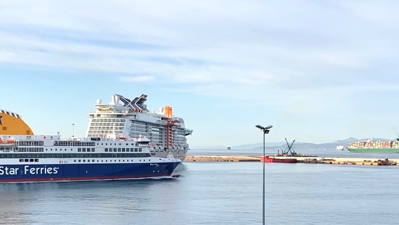
Maritime transportation is the backbone of the worldwide economic growth, representing 80% of the global merchant traffic, and a major domain of human and nature activity. Increased marine traffic and the need of accurate manoeuvring in ports are some challenges pilots are faced with.
The maritime community is becoming more and more interested in using SBAS (Satellite Based Augmentation System) for ocean, coastal waters and harbour entrances/approaches especially where there is no DGNSS infrastructure or in poorly covered environments. EGNOS is already used to effectively complement DGNSS for the provision of enhanced accuracy (close to 1m) and integrity information.
SBAS systems like EGNOS are set to become a complementary augmentation technology for maritime users. The study of V. Anton et al. on the evolution of SBAS/EGNOS enabled devices in maritime, presented at TRANSNAV shows that currently around 90% of receivers in the market implement SBAS. However, these implementations are not certified following a maritime test standard. The International Electrotechnical Commission (IEC) recently approved a new work item for the preparation of this standard in the next two years. The name of the standard is: IEC 61108-7 ED1 Maritime navigation and radiocommunication equipment and systems - Global navigation satellite systems (GNSS) - Part 7: Satellite Based Augmentation Systems - Receiver Equipment - Performance requirements and method of testing.
During the session moderated by Lopez, participants also had to opportunity to get a taste of how EGNOS performs in high latitudes and more specifically along the Finnish coasts. The study of R. Gonzalez et al. highlights EGNOS suitability in the border of its coverage area, showing an average accuracy of 0.815m in the Gulf of Finland.
The paper Low Bandwith Network-RTK correction dissemination for High Accuracy Maritime Navigation by S. Alissa et al., funded by EUSPA under H2020 project PREParE SHIPS (PREdicted Positioning based on EGNSS for Ships), was nominated as one of the best four papers of the conference. The study described a real-time kinematics network (NRTK) disseminating corrections for GNSS, including Galileo, by means of the modern maritime communication system VDES (VHF Data Exchange System).