As a public institution under the supervision of the French Ministry of Defence since 2007, Shom (The French Hydrographic Office) carries out different activities including the duties of a national hydrographic service and the support to defence and to government maritime and coastal policies.
From Brest, Shom performs hydrographic activities to satisfy the needs of surface navigation in those waters under French jurisdiction and in the areas under the charting responsibility of France. Shom’s mission is to describe the marine physical environment in its relations with the atmosphere, with the seabed and the coastal areas, to predict their evolution and to ensure the official dissemination of information necessary for maritime navigation.
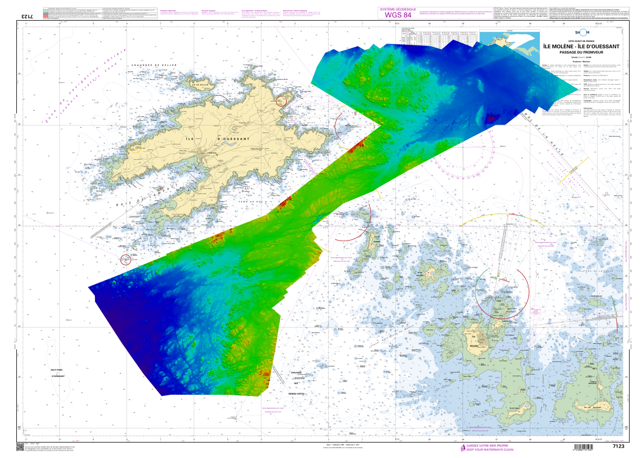
As part of its mission to describe and forecast the marine physical environment, Shom is in charge of developing nautical charts in the French maritime boundaries, the second largest in the world with 11 million square kilometers.
Following the international standard IHO S-44, some of the surveys required to get the data to compile the nautical charts are carried out using EGNOS to correct errors in the position. This S-44 standard specifies the maximum horizontal and vertical uncertainties of the soundings, and it is worth mentioning that the positioning of the vessel is one of the major sources of the sounding position error budget.
More to the point, Shom is using EGNOS to correct the horizontal position error during IHO Order 2 hydrographic surveys because this is as simple as using GPS Standard Positioning Service but is more accurate and insure minimal integrity. During IHO Order 1a/1b hydrographic surveys EGNOS is also used to reach a maximum horizontal uncertainty of 5m + 5% of the depth at the position of the vessel. In these cases, EGNOS is used both close and far to the shore. No need of RTK corrections that is an over shooting solution close to the shore. A real-time PPP service could be an alternative solution but EGNOS is free.
As an example, Shom has performed hydrographic surveys using EGNOS in some areas of the Mediterranean Sea, “Golfe de Gascogne” and “La Manche”. Over the years 2015-2017 Shom have been surveying using EGNOS in approximately 120 surveys. Those surveys have been done using both Leica or Trimble GNSS receiver and Applanix motion sensor onboard survey vessels (BH2) Laplace, Borda and Lapérouse together with their hydrographic launches.