GNSS and Earth observation experts came together at a webinar organised by the European GNSS Agency (GSA) on 26 May to discuss how combining Galileo and EGNOS navigation and positioning tools with the data and services offered by EU Earth observation programme Copernicus can be used to improve food security and make agriculture in general more efficient and sustainable.
Disruptions caused by the COVID-19 pandemic have thrown the importance of our food supply chain into sharp focus. At the same time, synergies between positioning data from Galileo and EGNOS and Earth observation data from Copernicus offer huge untapped potential for making the agriculture sector more efficient, resilient and sustainable.
It was to explore this potential and to drive the use of space technology in the service of sustainable agriculture and a more secure food chain that the EO4AGRI H2020 project organised this webinar, in collaboration with GSA, targeted at students, researchers, data analysts, participants in European, national and international projects, service and application developers, and other stakeholders.
Early adopter
The agricultural sector was an early adopter of Europe’s satellite augmentation service EGNOS and over 95% of agricultural receivers in Europe are currently EGNOS-enabled, with more than 65% of receivers Galileo-enabled also. “Galileo plays a key role in precision agriculture not only in positioning but also when combined with other technologies such as Copernicus. The coming High Accuracy Service and Navigation Message Authentication will mean a turning point in smart farming applications”, said María-Eva Ramírez from the European GNSS Service Centre (GSC).
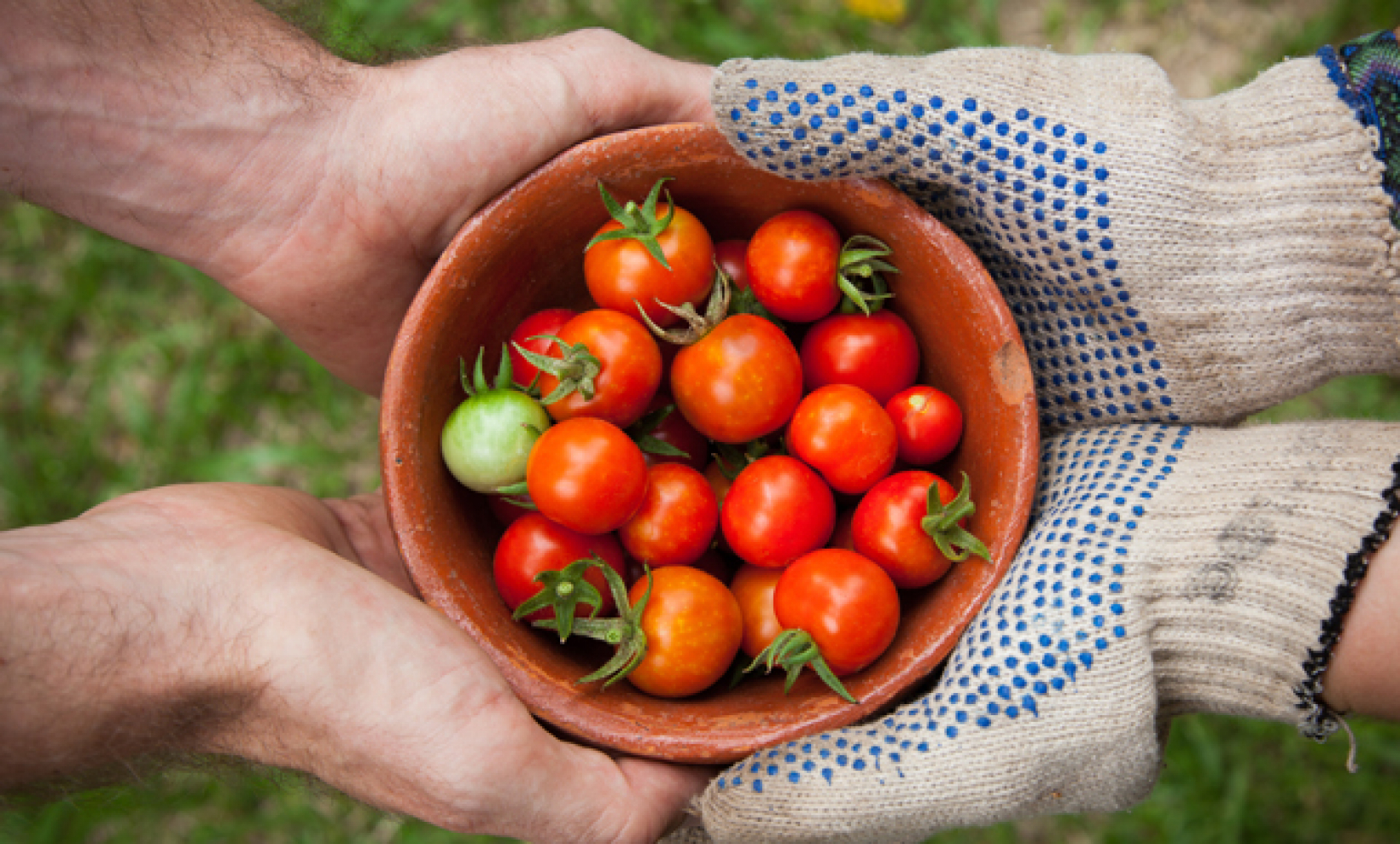
In agriculture, EGNOS-based solutions are used for low-value crop cultivation and low-accuracy operations such as ploughing, fertilizing and harvesting while Galileo receivers are used in a multi-constellation environment for high-value crop cultivation and precision operations such as sowing and transplanting. “EGNOS usage in European farming is a reality. Hundreds of thousands of cereal farmers benefit from free enhanced GPS accuracy. Thanks to EGNOS, crop productivity is increased and more sustainable farming is possible”, said Sofía Cilla from the European Satellite Service Provider (ESSP).
“GNSS has become an integral part of smart, connected and integrated farm management solutions and is a key driver for precision farming across the whole crop cycle”, said Joaquín Reyes González, Market Development Technology Officer at the GSA.
Strength through synergy
But it is when EU GNSS and Earth observation services work in synergy that the benefits are most keenly felt. Synergies between EGNSS and Copernicus support a number of agriculture solutions, such as variable rate application, which enables the precise use of fertilisers and pesticides where and when they are most needed, thereby making the sector more resource-efficient and reducing its environmental footprint.
“We just scratched the surface of what is possible when these two core components are put into use operationally. The combination of these two European flagship space projects is a key enabler of the Farm to Fork Strategy, the core of the European Green Deal, allowing for a fair, healthy and environmentally-friendly food system in Europe and beyond”, said David Kolitzus from GeoVille Information Systems and Data Processing.
EGNSS and Copernicus also enable soil moisture monitoring, providing timely information on water availability and reducing the amount of water used by linking it to the moisture level needed in the soil for a particular crop. Synergies between the two programmes also support the implementation of the Common Agricultural Policy, simplifying and digitising processes related to subsidies control and enabling more efficient checks. “EGNSS and Copernicus are core components in digital farming”, Reyes González said.
Webinar series
The May 26 webinar is the first in a series of webinars that will explore the benefits of EGNSS and Earth observation in the agriculture sector. All the presentations and video recording are now available here. A poll held at the event proposed two topics for future webinars: projects that showcase the use of EGNSS and Earth observation for agricultural applications, and technical tools for combining EGNSS and EO, with use cases from agriculture.
The vote was evenly split, so both these topics are likely to be the subjects of future webinars organised by the GSA. Stay tuned for updates!