As part of our continuous improvement process, we have developed some new features and improved some existing ones.
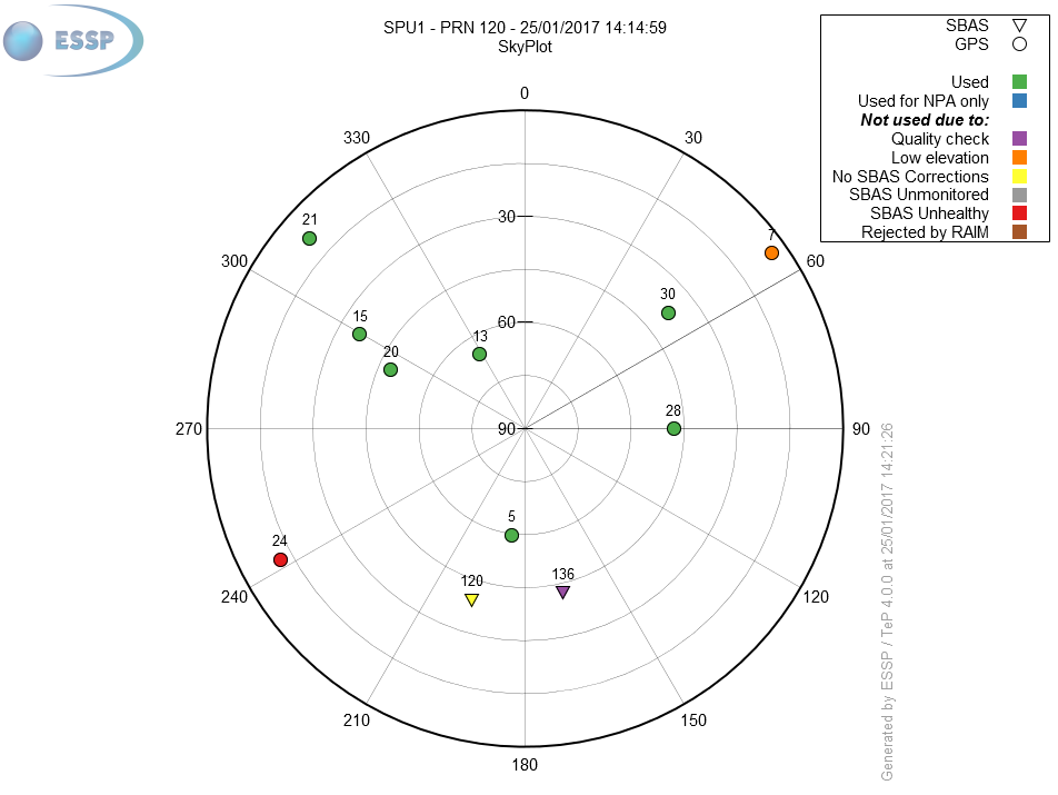
The skyplot shows information for the satellites being tracked centered on the receivers antenna location of the selected RIMS. In addition to the position of the satellite (elevation, azimuth) the skyplot provides information about the type of satellite (GPS or SBAS) and the usability status (used for PA, used for NPA or not used). For those satellites flagged as not used, the plot provides information about the reason why the satellite cannot be used in the position solution. This information is available for the SPU Receiver in Madrid for NPA Performance here and for a set of RIMS here.

The evolution of the hourly EGNOS availability for the previous day is now represented in video format for APV-I and LPV-200 availability maps. You can check these videos in the “Yesterday” tab for APV-I and LPV-200. In the same way, the evolution of the GPS satellites and IGPs status for the previous day is also presented in video format. This information can be seen in the “Yesterday” tab of the EGNOS System Real time page.
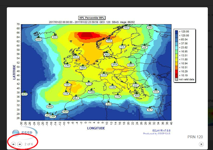
Images are now rendered in a smaller size to have all of them visible at a glance. Images are maximized when clicking on them and, once in this zoomed view, navigation between different images can be done using the next / previous buttons, the left / right arrow keys or just by clicking on the image itself. In order to exit this zoomed view, users can either click outside of the image, click on the 'X' button or hit the 'Esc' key.
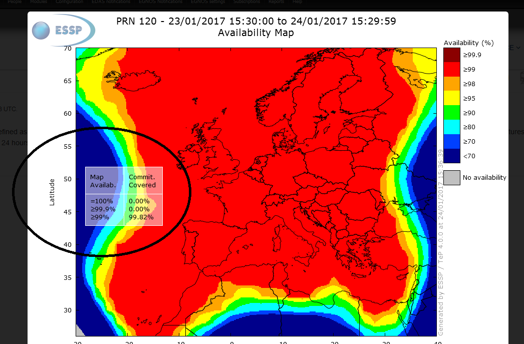
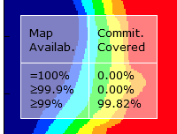
Images now represent the percentage of the commitment area where the coverage requirement is met. This consists in a transparent text box appearing on top of the existing images. "Commit. Covered" is the percentage of 99% area in SDD EGNOS APV-I or LPV 200 availability map covered by "Map Availab." performance. These images are already available in the LPV200 Maps and the APV-I Maps and the helpers contain a brief description of the meaning of this percentage.