The Latvian Hydrographic Service is part of the Maritime Administration of Latvia which was established in 1994 as a non-profit organization. This Maritime Administration, supervised by the Ministry of Transport, performs functions in accordance with the Maritime Administration and Maritime Safety Law and is also composed of Latvian Ship Register, Latvian Seamen's Registry and Maritime Safety Department.
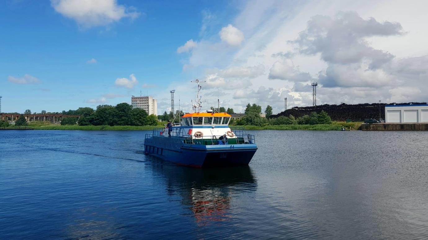
Since 2010, EGNOS has been used in chart production, surveys before and after dredging works and for safe navigation purposes. Aigars Gailis, Head of Hydrographic Service, explains that they collect “multibeam data, single beam data, side scan data and sound velocity data” during the surveys performed along “the whole year depending on weather conditions (ice, low temperatures, strong winds, waves)”. The equipment used is Hemisphere Vector™ V102 GPS compass which is EGNOS-enabled.
The surveys may be performed from very shallow waters (around 0.8m) near shoreline until 50 NM from nearest coast particularly in Baltic sea, Gulf of Riga, port and fairway surveys. Mr. Gailis refers to the use of EGNOS made by his organization clarifying that “outside of the RTK availability zone, our survey system turns automatically to SBAS, which is EGNOS in order to continue working with less provided accuracy, but still that fits the IHO S-44 standards, as well as our company’s internal survey methodology”. Out of the RTK range (typically 30-50 Km from the ground base/reference station), they can benefit from the accuracy provided by EGNOS because it satisfies their requirements in offshore areas at no cost at all.
They consider useful the EGNOS User Support Website to check what is new and review the performances provided by EGNOS.