Earth Day is celebrated around the world on April 22. Since its early days back in the seventies, Earth Day has striven to build the world’s largest environmental movement to drive transformative change for people and the planet. As an engine of this transformative change, space tech supports the goals of Earth Day by enabling innovative solutions that promote sustainable economic growth that is decoupled from resource use.
The world is faced with an existential threat brought about by growing demand for resources on one hand, and climate change and environmental degradation on the other. To effectively deal with this challenge, innovative solutions are needed to make the global economy more sustainable, boost the efficient use of resources, restore biodiversity and cut pollution.
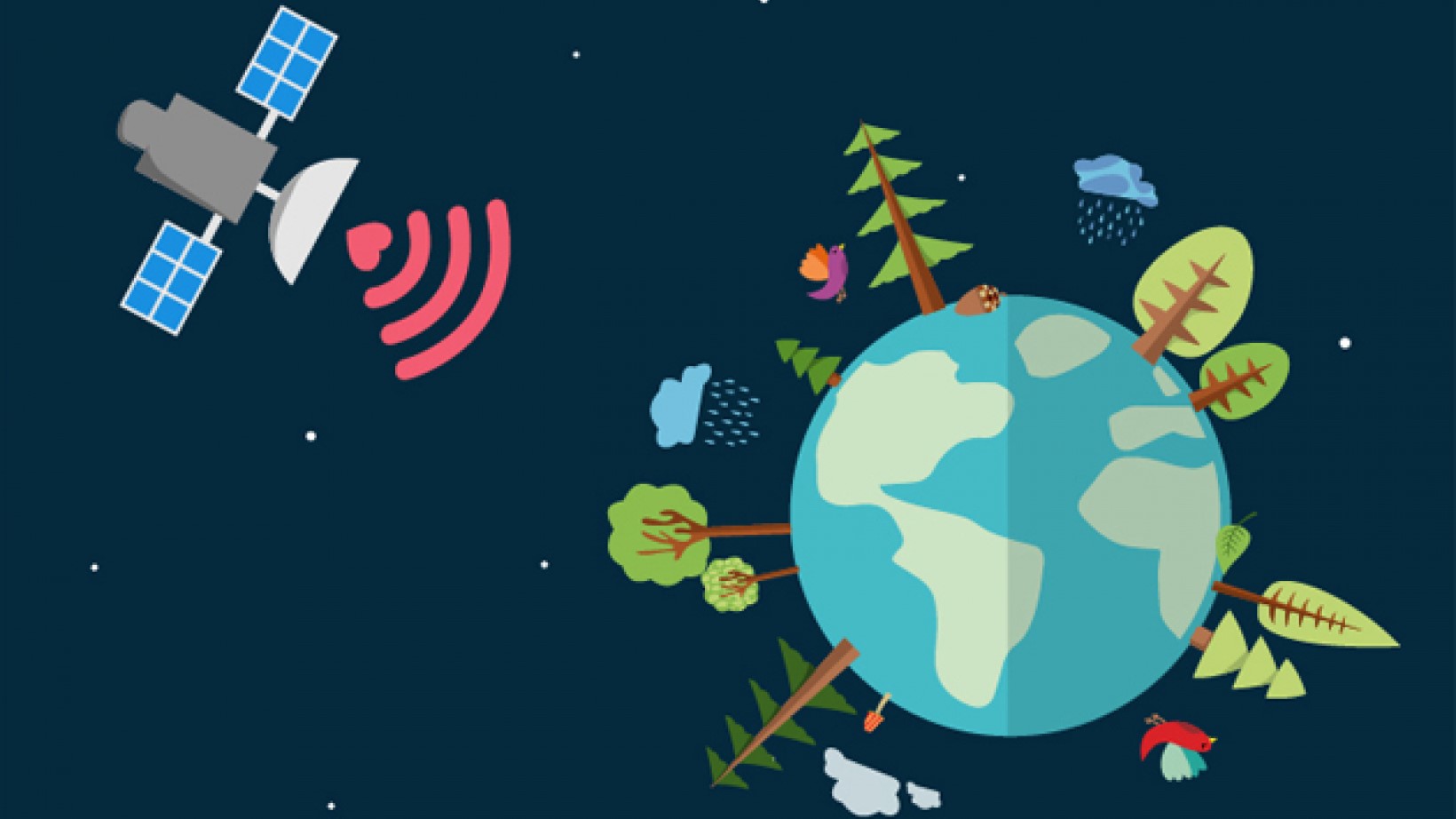
Satellite technologies – both GNSS positioning and Earth observation – are already contributing to increased efficiency and reduced environmental impact in a number of core sectors of the economy. On Earth Day, we take a look at how these space solutions and applications are playing an increasingly important role in creating a more sustainable planet.
From Farm to Fork
The agriculture sector has been an enthusiastic early adopter of satellite technology and now over 90% of tractors in the EU are already EGNOS-enabled. The benefits in terms of greening EU agriculture are clear. Satellite-enabled precision farming allows farmers to save fuel by avoiding overlaps in field cultivation. They can also reduce pesticide and fertiliser use thanks to more targeted application. One example of a solution that leverages EGNSS (Galileo and EGNOS) to improve agricultural performance is Tractor Navigator, a prize-winner at last year’s MyGalileoApp competition.
By providing data on soil condition, drought, crop development and other conditions on the farm, Earth observation satellites also enable farmers to make more informed decisions. Using this data, farmers can plan where and when to irrigate, or how much fertilizer to apply, for example. Satellite images can also be used as a tool to predict agricultural output, which can be critical in anticipating crop failures and mitigating the effects of food shortages. Satellites also provide data on air quality and atmospheric composition, making it possible to monitor emissions of CO2, NOx and other greenhouse gasses. As such, Earth observation is a key tool in global efforts to monitor and mitigate the effects of climate change.
GNSS and greener transport
But it is not just on the farm that space tech is driving green innovation. On our roads too, GNSS also plays a role in many of the disruptive and innovative trends and apps that are making passenger and freight transport more sustainable - from drone deliveries to Mobility as a Service (MaaS). Satellite-based navigation generally makes life on the road easier – it significantly reduces congestion and, as a result, the carbon footprint of the road sector is significantly diminished.
Ride-sharing and other sustainable mobility solutions all rely on precise positioning. In one example, the Galileo 4 Mobility project is leveraging Galileo for MaaS by identifying the geolocation needs of various stakeholders and is demonstrating the benefits of Galileo through pilot demonstrators of shared mobility services.
In the air too EGNSS, in particular EGNOS, is helping to make flying cleaner and more accessible. EGNOS-enabled procedures at airports result in fewer aborted landings. This in turn means significant fuel savings for airlines, which has a corresponding impact on carbon emissions in the sector.
Sustainable energy
Space technologies are also playing a major role in the area of sustainable energy, with both Earth observation and GNSS positioning supporting applications and services in the sector. In one such case, the Horizon 2020-funded EASY PV project uses GNSS to help photovoltaic (PV) field owners to boost energy production. Another project, LARA, is using state-of-the-art GNSS technologies and interactive computer graphics to allow utility workers to ‘see’ 3D models of underground water, gas and electric grids without digging, thereby significantly increasing the efficiency of network maintenance.
Earth observation also makes a major contribution to improved sustainability in the energy sector, by providing information related to weather (wind, solar and hydro) and energy (capacity factors, demand, volatility) forecasts at a regional and national level in Europe. This allows energy providers and policy-makers to make informed choices on the future energy mix.
Sustainability is one of the critical challenges of our times – sustainability of consumption, sustainability of transport and sustainability of the energy that we use to heat our homes and power our economies. Space tech – EGNSS and Earth observation – is making an increasingly important contribution to achieving sustainability targets in these areas and, as such, is a key asset in Europe’s environmental toolbox.