Maritime
EGNOS contributes substantially to the maritime sector and already supports navigation and positioning applications both at sea and on inland waterways. All passenger ships and cargo ships with gross tonnage of more than 500 tonnes are regulated and rely heavily on GNSS for navigation, and GNSS systems for maritime navigation are widespread across commercial and recreational vessels.
Nowadays, c.a. 75% of shipborne receiver models are EGNOS-enabled.
EGNOS contributes as well to monitoring operations and traffic when the Automatic Identification System (AIS) equipment is using SBAS corrections.
EGNOS may also contribute to the final stage of search and rescue operations by providing a more precise location, especially when the beacon also include AIS capability.
EGNOS for MARITIME
Navigation
- More accurate, reliable and safer navigation.
Search and Rescue
- More precise alert localisation for the final rescue phase.
Vessel Traffic Control
- Enhanced precision of Vessel Traffic Monitoring and Information Systems.


Latest News

The European Union Agency for the Space Programme (EUSPA), together with European Satellite Services Provider (ESSP), held a two-day…

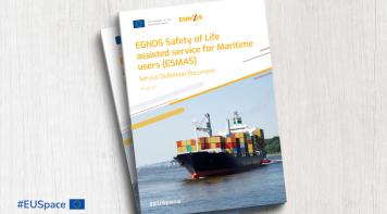
EGNOS, Europe's regional satellite-based augmentation system (SBAS), is adding a new service to its repertoire: The EGNOS Safety…
Latest Documents

This report presents the EGNOS services performance during March 2024. The report contains global results for the reported period,…

The EGNOS Service Notices are notifications published whenever there is any complementary information that could have a relevant impact…

The European Geostationary Navigation Overlay Service (EGNOS) provides an augmentation service to the Global Positioning System (GPS)…


