
…
Mapping & Surveying
EGNOS is a cost-effective, solution for the mapping and surveying sector providing sub-metre level accuracy with minimal investment. EGNOS is contributing to the growing use of GNSS in real time mapping solutions, as for GIS and many mapping applications sub-metre-level accuracy is enough. EGNOS provides added value by enhancing GNSS positioning, it is free of charge, and most of the devices used for mapping are EGNOS-ready.
EGNOS eliminates the need for complex and costly equipment, and software solutions and investment in the infrastructure of augmentation service providers. As a result, applications such as thematic mapping for small and medium municipalities, forestry and park management, inventories and maintenance for utility infrastructures (e.g. electrical power lines, pipelines, highroads signals) can benefit from EGNOS service.
EGNOS for MAPPING & SURVEYING
EGNOS:
- Is an effective option for a wide range of mapping applications
- Is free and does not require any subscription
- Covers the majority of Europe, with no blank spots (including natural and protected areas where no GPRS coverage is available)
- Allows real time positioning
- Provides system integrity, supplying information on the reliability of GPS signals
- Most GNSS devices used for mapping are EGNOS-ready

Latest News

Thursday, March 21, 2024
The European Union Agency for the Space Programme (EUSPA), together with European Satellite Services Provider (ESSP), held a two-day…

Wednesday, March 13, 2024
The European Union Agency for the Space Programme (EUSPA) declared the new EGNOS Safety of Life (SoL) assisted service for MAritime…
Latest Documents
Monthly performance report
Friday, April 05, 2024
This report presents the EGNOS services performance during March 2024. The report contains global results for the reported period,…
Service Notices
Wednesday, March 13, 2024
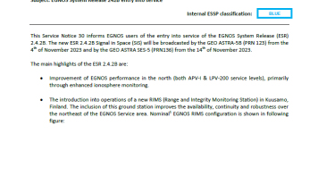
The EGNOS Service Notices are notifications published whenever there is any complementary information that could have a relevant impact…
service_notice-31.pdf251.76 KB

Monthly performance report
Thursday, March 07, 2024
This report presents the EGNOS services performance during February 2024. The report contains global results for the reported period,…